County Heat and Health Profile Reports

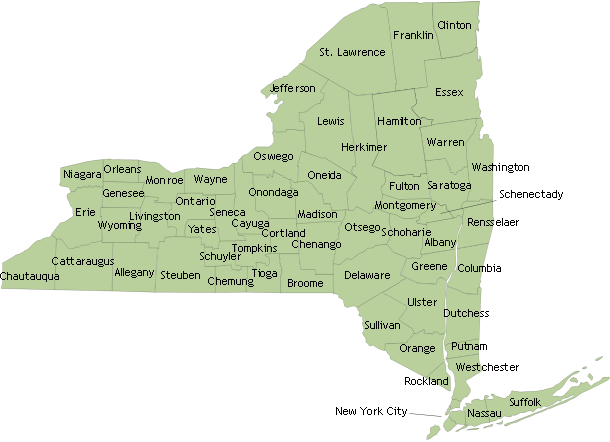
Heat and Health Profile Reports are available for each Upstate New York State county using the map below (view New York City's Profile). The reports describe county temperature trends, summarize heat-related health effects, identify areas with populations at highest vulnerability to heat, and list some available adaptation resources. The County Heat and Health Profiles can help communities prepare for and prevent heat-related illness.

Select a county or click the map to view its Heat and Health Profile Report.

New York State map Albany County Allegany County Bronx County Broome County Cattaraugus County Cayuga County Chautauqua County Chemung County Chenango County Clinton County Columbia County Cortland County Delaware County Dutchess County Erie County Essex County Franklin County Fulton County Genesee County Greene County Hamilton County Herkimer County Jefferson County Kings County (Brooklyn) Lewis County Livingston County Madison County Monroe County Montgomery County Nassau County New York County (Manhattan) Niagara County Oneida County Onondaga County Ontario County Orange County Orleans County Oswego County Otsego County Putnam County Queens County Rensselaer County Richmond County (Staten Island) Rockland County Saratoga County Schenectady County Schoharie County Schuyler County Seneca County St. Lawrence County Steuben County Suffolk County Sullivan County Tioga County Tompkins County Ulster County Warren County Washington County Wayne County Westchester County Wyoming County Yates County